Sam, l advise you to give Navionics a miss before you get into trouble.
I recommend, recommended - for your intended purpose MMapp. Why?
Because while MMap is an electronic version of a paper chart or raster chart and the different zoom levels do not hide data, Navionics is a vector chart and the different levels of zoom show or hide information. Important information.
It is very easy to have an accident using a vector chart while navigating if one is unfamiliar with the use of it. Especially if one has to control the vessel at the same time. Please, do not create a problem for yourself.
As far as the tablet is concerned, here is mine:


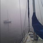
This last one is my Wi-Fi which is working perfectly along the east coast.

(headstand!)